CADtoEarth for Autodesk AutoCAD Civil 3D extends a family of add-ins that establish a bi-directional connection between CAD environments and Google Earth or Google Maps.
Main features:
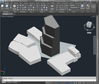
- Place a 3D structure on the imported surface within modeling session and then upload it back to Google Earth.
- Upload a 3D structure directly from a modeling session onto Google Earth.
- Perform the same operations on 2D objects between Civil 3D and Google Maps.
Comments